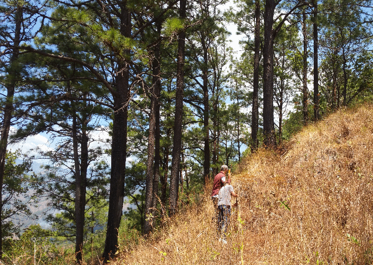
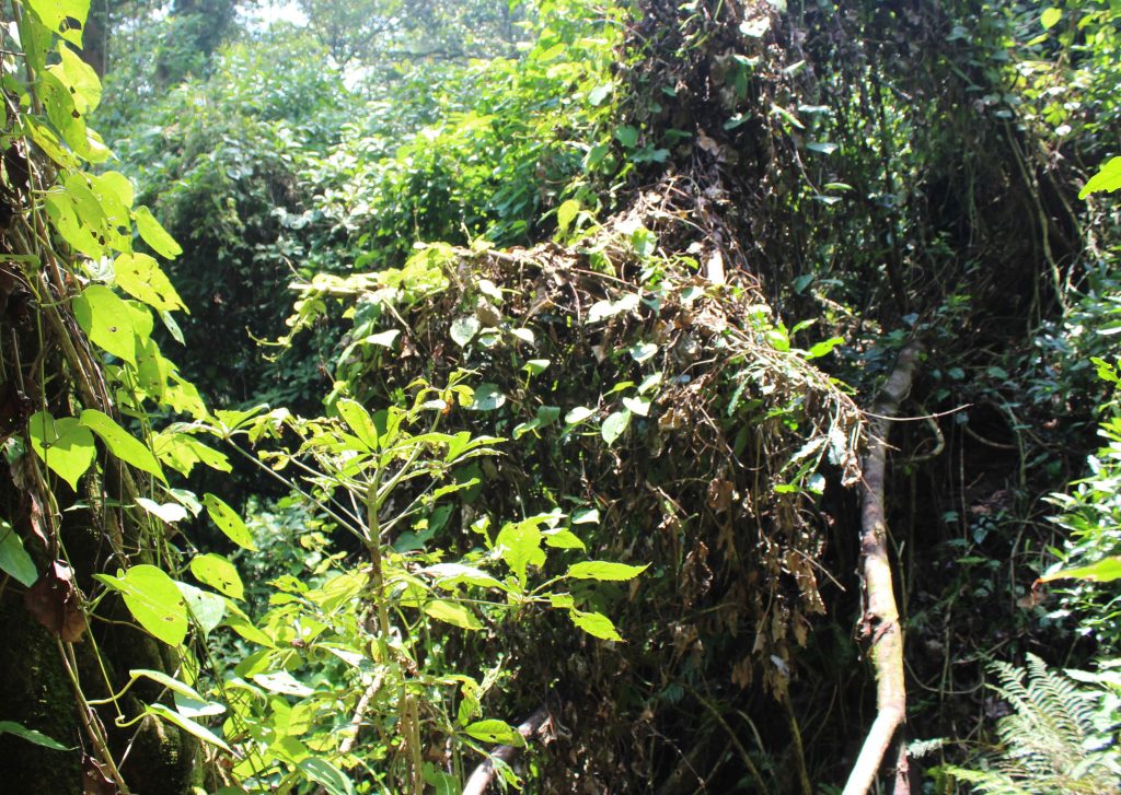
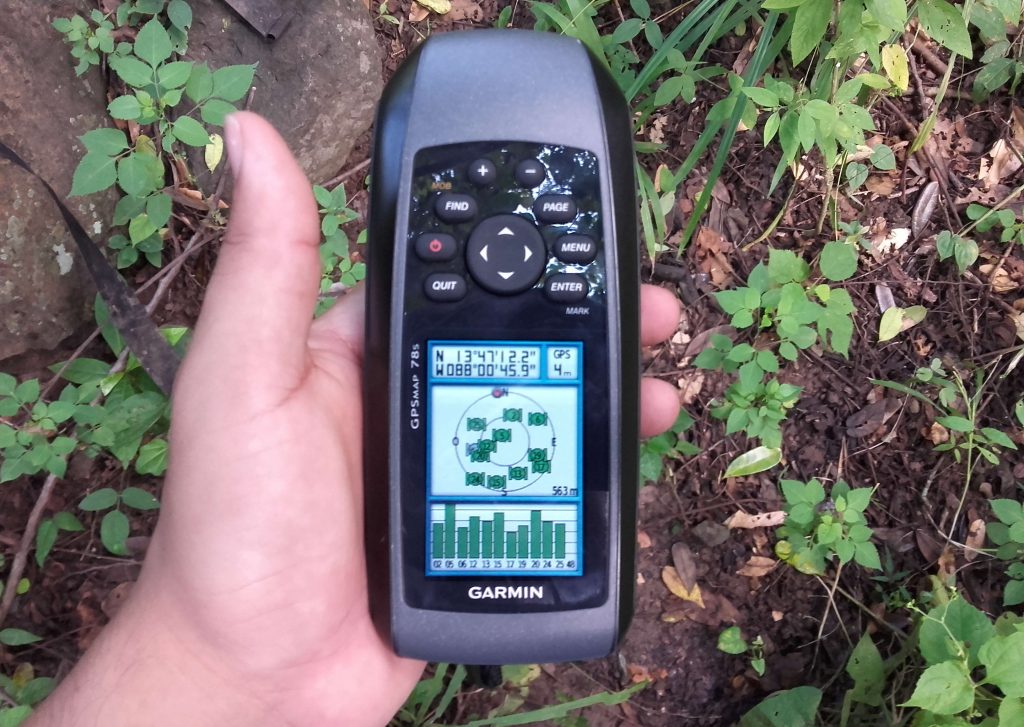
VIELCA MEDIO AMBIENTE planned, coordinated and executed the first National Forest Inventory of El Salvador, a pioneering and highly difficult task due to the country’s characteristics. A total of 270 plots of land were erected, with their corresponding social coordination, distributed among the different vegetation strata, such as secondary forest, coniferous forest, shady coffee plantations and mangrove (salt forest).
In addition, a technological infrastructure for data management and processing was created, supported by relational databases (PostgreSQL), a content manager (Odoo) and a digital results platform (Pentaho). The ArcGIS package for spatial analysis, in a broad sense. Geostatistical techniques for variable interpolation have been performed with the Geostatistical Analyst extension. Also, a model has been implemented with Model Builder to facilitate the location of plots, as well as for the entire management of the geospatial component in terms of field mapping, plot relocations, map editing, etc.
This facilitated the management of national forest inventory data and the development of the quality control system. If the data is adjusted, added or supplemented in the future, the results at the plot and stratum-plot level will be automatically updated according to the new data entered.
Once the data were collected, the following work was carried out:
- Calculation of forest variables (diameter, height, commercial height, density, basal area, volume, biomass).
- Calculation of carbon variables, including quantification of living biomass (above ground and below ground), dead biomass, (dead wood on soil, dead stumps and leaf litter, as well as soil carbon.
- Calculation of environmental variables (regeneration, phytosanitary status, biodiversity).
- Mapping at the national level using geostatistical techniques.
- Face-to-face training for 22 technicians, lasting 40 hours.
The results were presented to two ministers and the country’s media.


